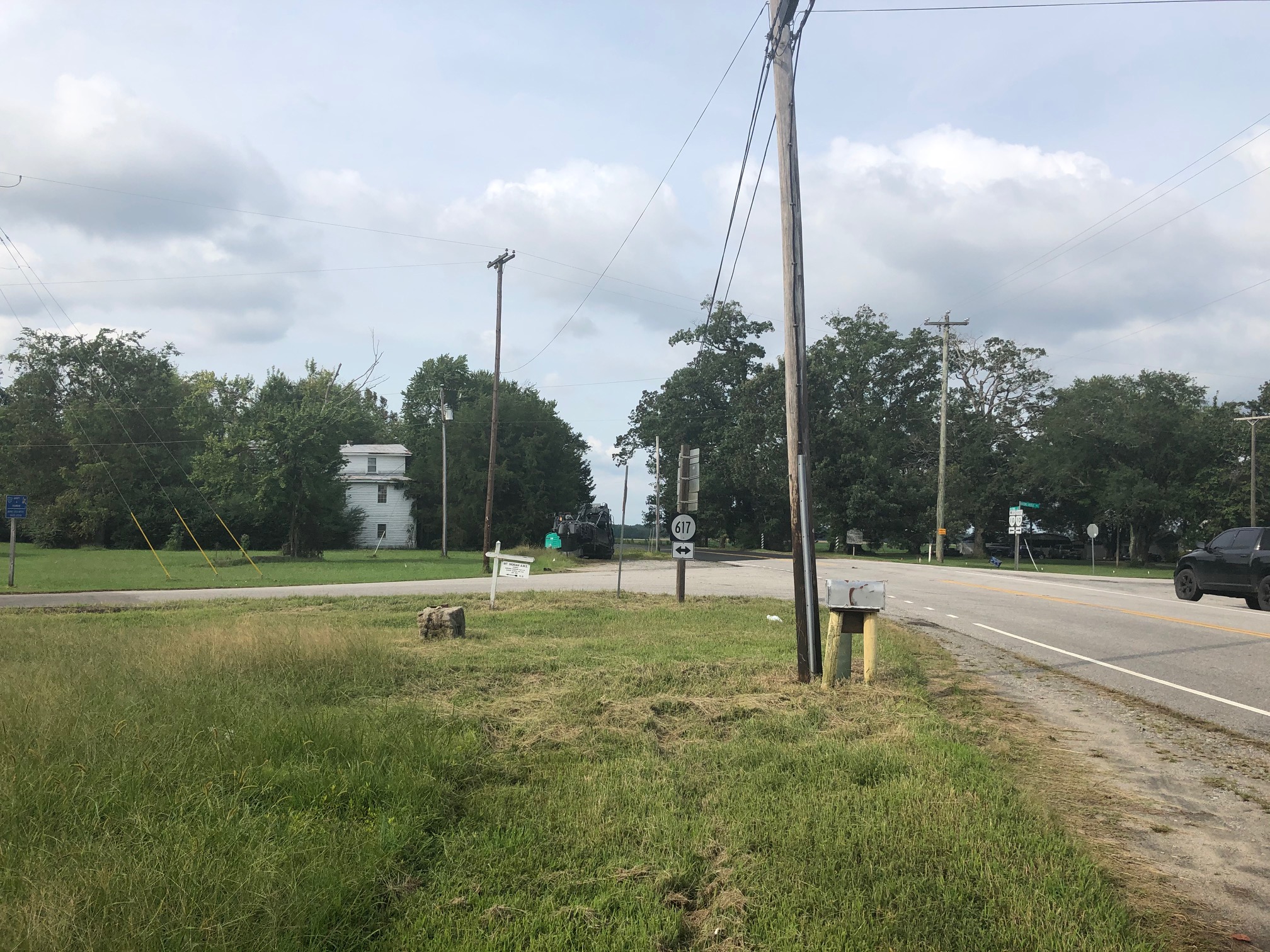
Under Construction: Route 10 (Colonial Trail East) and Route 617 Intersection Improvements
Cost and schedule ►
Public outreach ►
About the Project
The project is located in Surry County at the intersection of Route 10 (Colonial Trail East) with Route 617, known as Bacons Castle Trail to the north and White Marsh Road to the south.
Route 10 (Colonial Trail East) is a rural minor arterial roadway with a current average daily traffic (ADT) of 5,800 vehicles. The ADT is projected to be 9,400 vehicles per day in design year 2045. The posted speed limit is 45 MPH for this portion of Route 10 (Colonial Trail East).
Route 617 (Bacons Castle Trail) is a rural major collector roadway with a current ADT of 1,200 vehicles and the projected ADT is 1,600 vehicles per day. Route 617 (White Marsh Road) is a rural minor collector with a current ADT of 120 vehicles and the projected ADT is 160 vehicles per day.
The purpose of the project is to improve safety and create improved operational conditions by building left turn lanes on Route 10 (Colonial Trail East) and a right turn lane on Route 617 (Bacons Castle Trail). Improvements will also increase sight distance at the intersection for crossing traffic and shoulders at all four quadrants.
During construction, through traffic in both directions will be maintained. The contractor plans to implement long-term shoulder closures on Route 10, temporary single-lane closures under flagger control, and traffic shifts to facilitate construction activities.
Access to all private property and businesses on Route 10 and Route 617 will be maintained at all times.
Benefits
Intersection improvements will increase safety and create improved operational conditions at the intersection, and include the following:
- creation of new left-turn lanes from Route 10 to Route 617 toward Bacons Castle Trail and from Route 10 to Route 617 toward Wakefield,
- addition of a new right-turn lane from Route 617 to Route 10 north toward Surry,
- shoulder improvements on all four quadrants of the intersection,
- land clearing to increase sight distance at the intersection for crossing traffic, and
- installation of updated traffic signage at and approaching the intersection.
Major Milestones
- Public input & comment period on preliminary design was completed in fall 2020.
- Acquiring the necessary right of way and utility easements was completed in October 2022.
- Relocating utilities prior to construction is complete.
- Construction began November 2023.
- Completion is scheduled for fall 2024.
Resources
Hampton Roads Communications
757-956-3032
UPC: 111789
State ID: 0010-090-752
Lat/Long: 37.105329, -76.730131
Locality:
Surry


